Conservation

Soil and water conservation
Given the climatic conditions and demographic challenges, monitoring water availability is very important in India. While remote sensing helps in mapping water resources and analyzing changes, these are more of an one-time activity. But, as part of State or National Water governance efforts there is a need for continues monitoring and assessing the changing resources – both in the long term (over decades) and in the short term (inter-seasonal variations). The more and more availability of Open data sources for satellite imagery from NASA, ESA are a great help in this regard.
Kaiinos has been using these datasets to understand soil erosion potential. Maps to represent this are used to mitigate this risk. In areas where there is no risk of soil erosion, water harvesting structures can be built to conserve ground water.
Forest Conservation
Forests help to drive sustainable growth. Trees and vegetation lower surface and air temperatures by providing shade and through evapotranspiration(ET). This is a process by which plants absorb water through their roots and release it as vapor through their leaves, it includes the evaporation of water from soil and transpiration. Both of these liquid-to-gas processes use heat from the surroundings and thus cool the air. It helps reduce peak summer temperatures by 2–9°F (1–5°C).
Kaiinos has been helping our collaborators to find potential areas which are suitable for plantations and then monitor their growth and impact on climate by deploying data products which can represent metrics like ET.
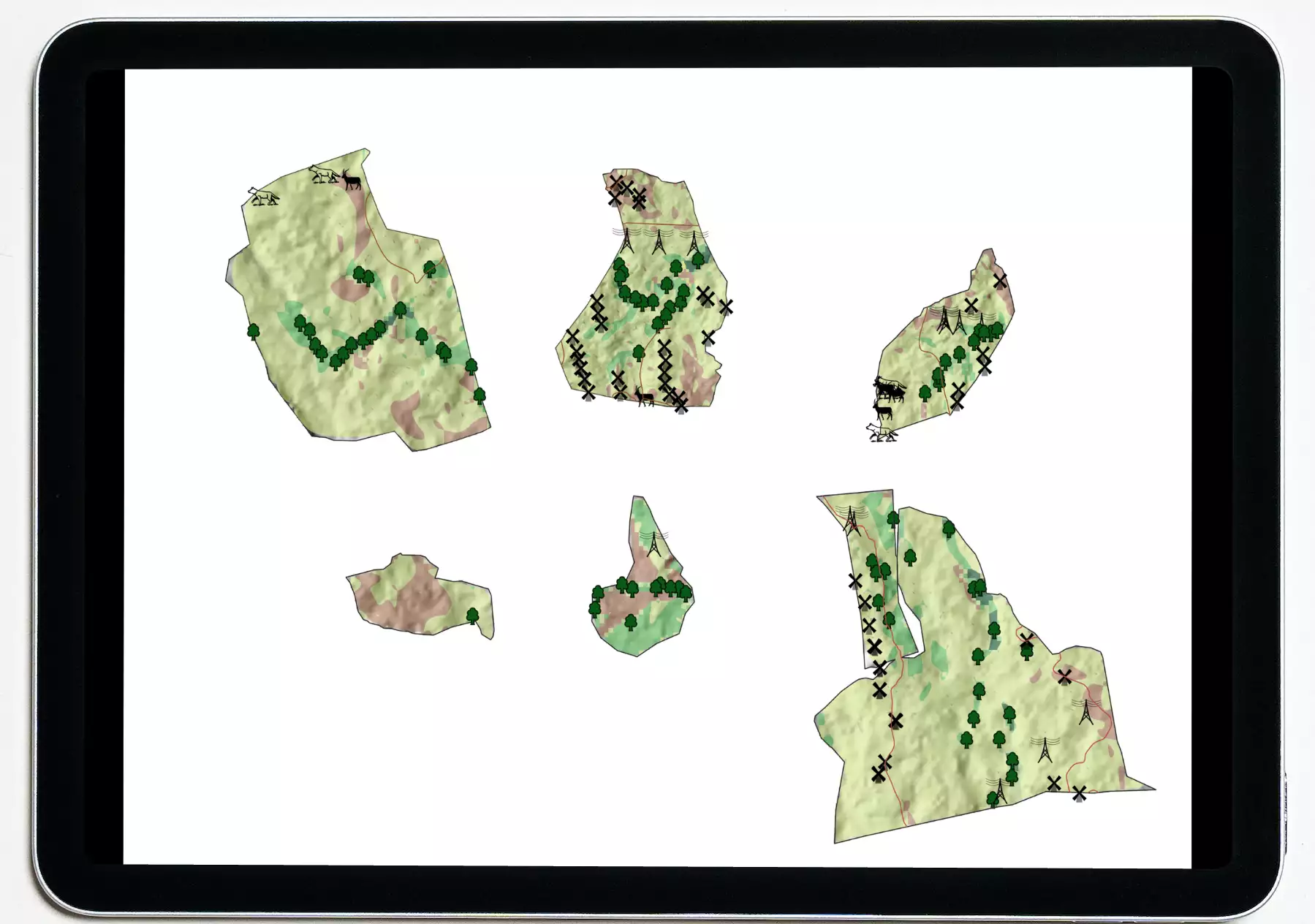

Wildlife conservation
Kaiinos has developed a comprehensive spatio-temporal analytical platform for Tiger conservation in India. This platform is a full scale stack for taking up conservation activities at the scale of reserves or protected areas. Now we are extending this to enable landscape level conservation activities.
This platform helps in understanding health of vegetation and match them with animal species intensities. Places which have healthy vegetation but lesser number of herbivores are suitable for species introduction. Similarly carnivores are also introduced based on herbivore abundance.